
AI Site Selection for Infrastructures | Plume Finder
Rate this Tool
Average Score
Total Votes
Select your score (1-10):
Detail Information
What
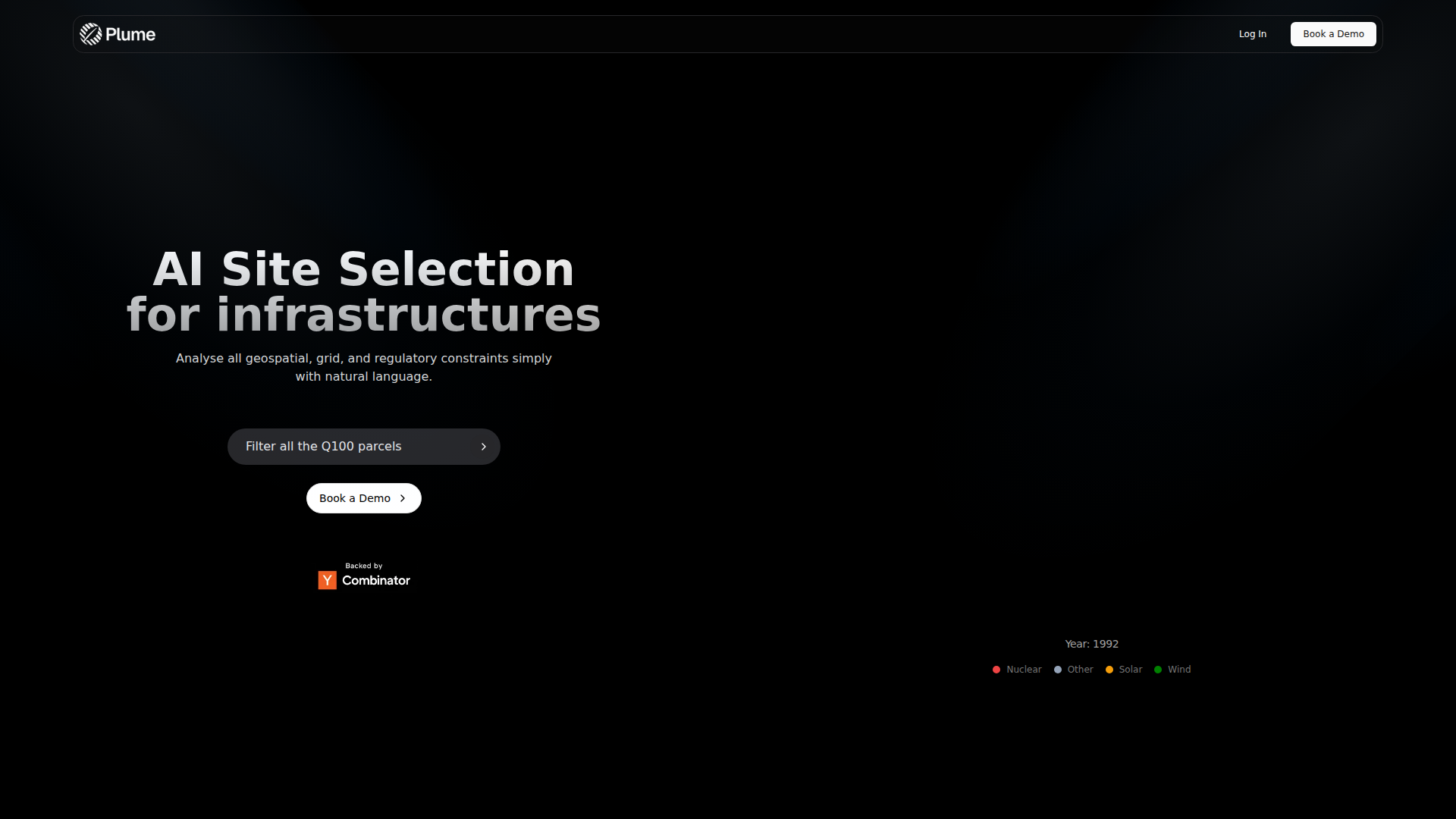
Plume Finder appears to be an AI-based site selection product for infrastructure projects. Based on the page content, it helps users analyze geospatial, grid, and regulatory constraints through a natural-language interface, with an example focused on filtering parcels by flood-risk criteria such as Q100.
The product likely serves infrastructure developers, energy project teams, land origination specialists, and planning functions that need to screen locations quickly across multiple constraints. From the limited source content, it appears positioned as an early-stage feasibility and land-screening tool rather than a full project management or permitting system.
Features
- Natural-language site analysis: Users can analyze infrastructure siting constraints using plain-language queries, which can reduce manual GIS filtering work.
- Geospatial constraint screening: The product references geospatial analysis, indicating support for location-based filtering relevant to land and infrastructure decisions.
- Grid constraint consideration: The page states that grid constraints are included, which is useful for narrowing sites based on connection-related viability.
- Regulatory constraint analysis: Regulatory factors are part of the screening workflow, helping teams identify parcels that may face planning or compliance obstacles.
- Parcel-level filtering: The example “Filter all the Q100 parcels” suggests parcel-based querying for specific risk or zoning-style criteria.
- Multi-infrastructure applicability: The page references nuclear, solar, wind, and other categories, implying use across several infrastructure types.
Helpful Tips
- For products like this, verify which geographies, datasets, and regulatory layers are actually covered before relying on outputs for investment or permitting decisions.
- Treat natural-language filtering as a fast screening layer; critical site decisions should still be validated by GIS specialists, grid experts, and legal or permitting advisors.
- Ask how frequently geospatial, flood, grid, and regulatory data are updated, since site selection quality depends heavily on current source layers.
- If comparing vendors, distinguish between tools built for rapid origination screening and platforms designed for detailed engineering, interconnection, or permitting workflows.
- For internal adoption, define a standard shortlist process so teams use the tool consistently for first-pass parcel filtering and escalation.
OpenClaw Skills
Within the OpenClaw ecosystem, this product could likely support agent workflows for land screening, infrastructure origination, and feasibility triage. For example, an OpenClaw skill could take a project brief, translate it into structured siting criteria, query Plume Finder for candidate parcels, and return a ranked shortlist with documented geospatial, grid, and regulatory constraints. This is a likely use case, not a confirmed native integration from the source page.
OpenClaw agents built around this workflow could be especially useful for renewable energy developers, nuclear siting teams, utilities, and infrastructure investors. A combined workflow might automate repetitive early-stage research, generate parcel review memos, compare technology-specific siting assumptions, and route promising sites into downstream diligence processes. If implemented well, that could make location screening faster, more standardized, and easier to audit across large infrastructure pipelines.
Embed Code
Share this AI tool on your website or blog by copying and pasting the code below. The embedded widget will automatically update with the latest information.
<iframe src="https://www.aimyflow.com/ai/plumefinder-com/embed" width="100%" height="400" frameborder="0"></iframe>
Explore Similar Tools
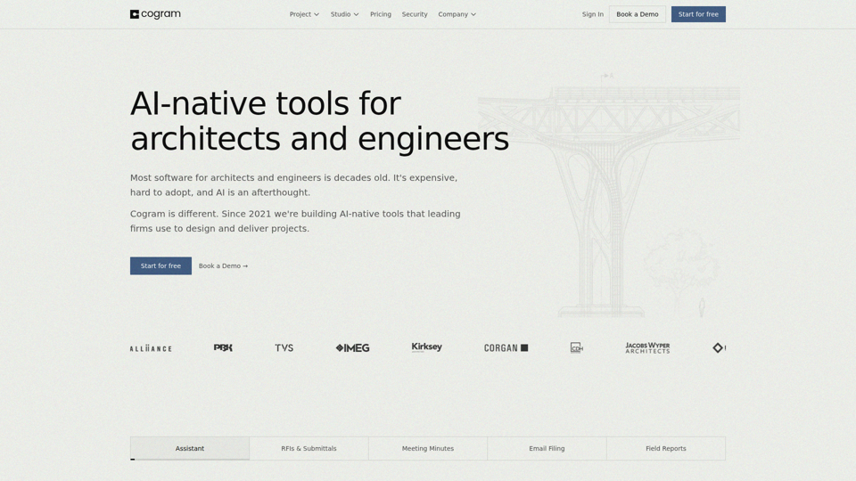
Cogram — The AI Platform for Architects and Engineers
Cogram is an AI platform for architects, engineers, and other AEC professionals that helps teams streamline project documentation, collaboration, RFIs and submittals, meeting minutes, field reports, and email management. For architecture, engineering, and project delivery roles, it can reduce repetitive admin work and make project information easier to capture, search, and reuse across active jobs.
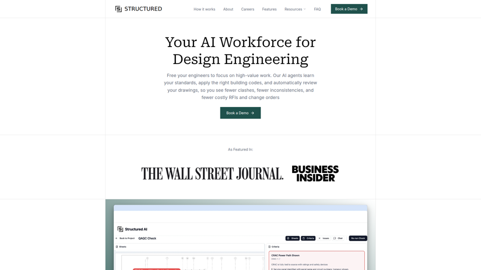
Structured AI
Structured AI is an AI QA/QC platform for construction and design engineering documents that helps AEC firms automatically review MEP, civil, structural, and architectural drawings for errors, inconsistencies, clashes, and code-related issues. For engineers and technical reviewers, it can reduce repetitive drawing checks and surface standards-based findings earlier, supporting faster coordination and fewer downstream rework issues.
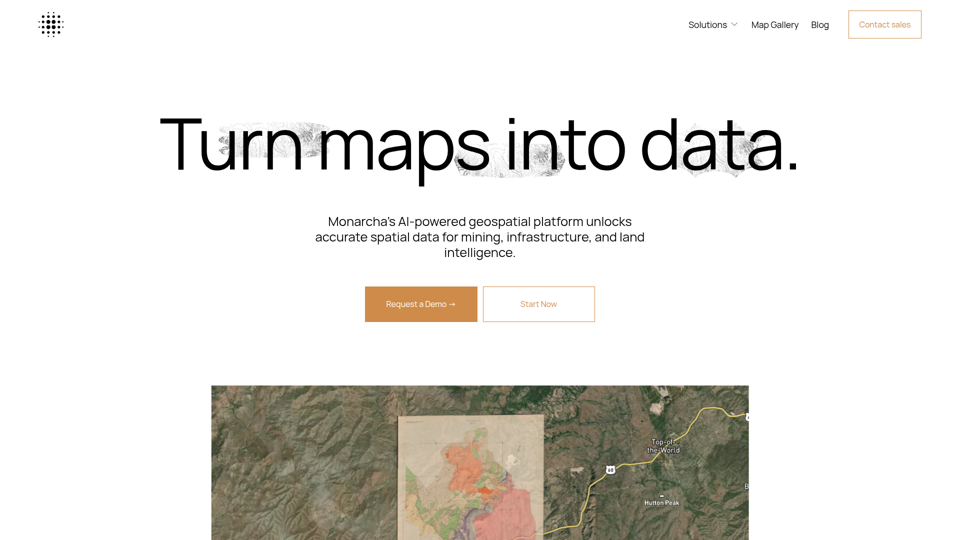
Monarcha | AI-Powered Geospatial Platform
Monarcha is an AI-powered geospatial platform that turns scanned maps, plats, deeds, drawings, and other documents into accurate, queryable GIS data for mining, civil engineering, infrastructure, and land intelligence teams. By automating georeferencing and spatial data extraction, it can help geologists, engineers, and land professionals reduce manual map interpretation and work faster with structured spatial datasets.
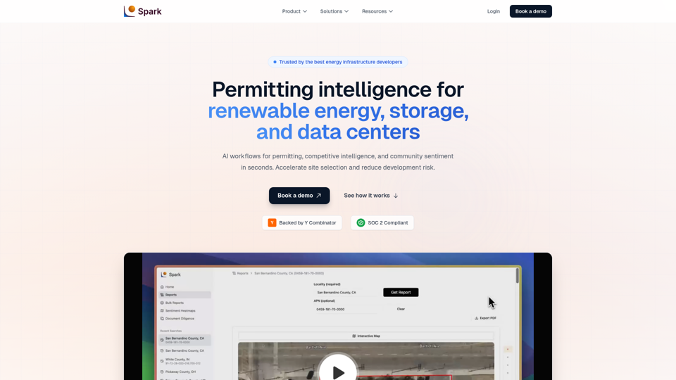
Spark | Permitting Intelligence for Solar, Storage & Data Centers
Spark is an AI permitting intelligence platform that helps solar, battery storage, and data center developers analyze site selection, zoning, permitting requirements, and community sentiment using cited public records. For development, permitting, legal, and diligence teams, it can shorten manual document review and surface buildability risks earlier in the project pipeline.
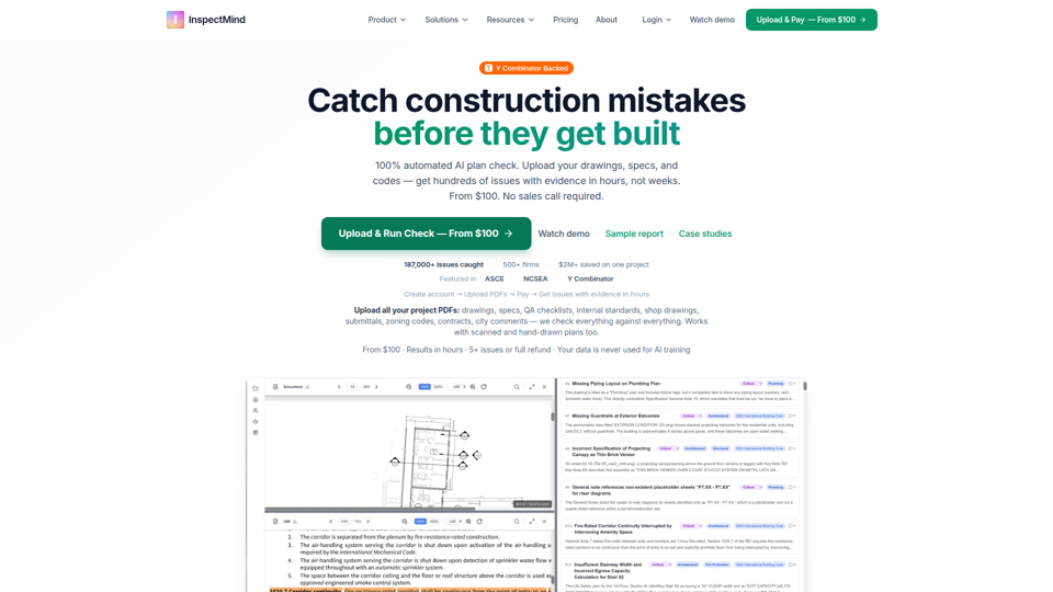
AI Construction QAQC | Plan Check & Drawing Review | From
InspectMind is an AI construction QA/QC and plan-checking platform that automatically reviews project PDFs (drawings, specs, codes, and QA standards) to find coordination conflicts, code issues, and constructability problems, mainly for AEC teams such as architects, engineers, contractors, developers, and plan checkers. In AI-enabled design and preconstruction workflows, it helps these roles surface evidence-backed issues earlier so teams can reduce RFIs, rework, and permit-review friction.
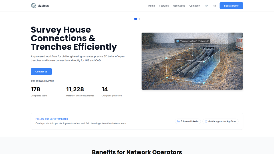
sizeless | Digital Property Twins
sizeless is an AI-powered digital twin and surveying platform that turns smartphone video of buildings, trenches, and house connections into precise 3D models, CAD plans, and GIS-ready outputs for civil engineering, AEC, and energy planning professionals. By automating capture and documentation workflows, it can help surveyors, engineers, and network operators reduce manual drafting, speed as-built delivery, and improve planning accuracy.