
Spark | Permitting Intelligence for Solar, Storage & Data Centers
Rate this Tool
Average Score
Total Votes
Select your score (1-10):
Detail Information
What
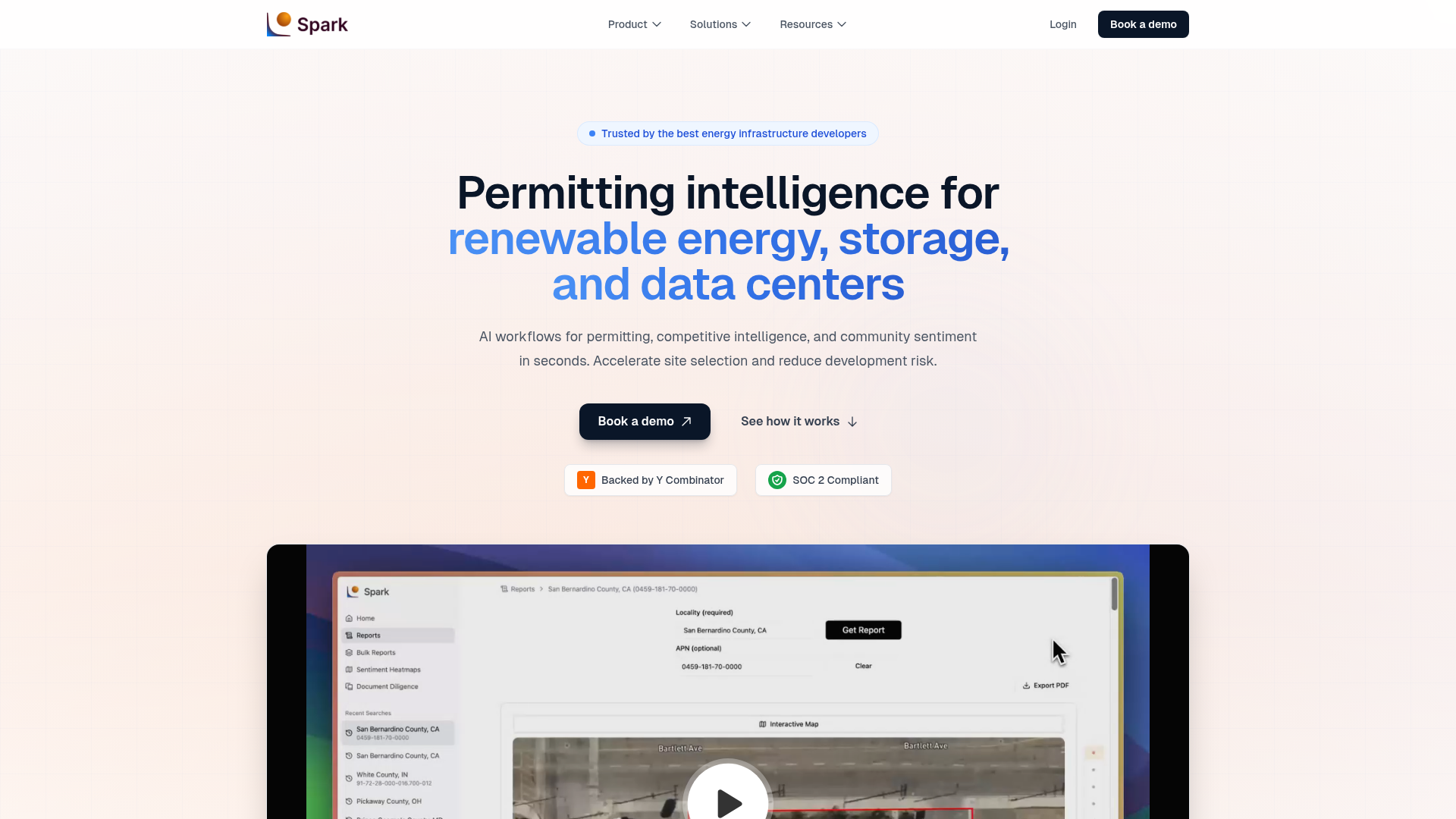
Spark is a permitting intelligence platform for energy infrastructure development, focused on solar, battery storage, and data center projects. It helps developers evaluate whether a site is realistically buildable by analyzing zoning rules, permitting requirements, moratoria, local development activity, and signs of community opposition.
The product appears positioned as a diligence layer used alongside GIS and mapping tools rather than as a basic site-screening tool. Its core workflow is to crawl public local sources, extract and structure relevant permitting information, and present evidence-backed outputs with citations and timestamps for screening, site selection, portfolio review, and M&A diligence.
Features
- Planning and zoning reports: Provides regional views of regulations, authorities, and development activity to support early-stage site evaluation.
- Parcel-based search: Lets users search by parcel to assess land use, zoning context, and development feasibility for specific locations.
- Permitted use and zoning analysis: Breaks down allowed uses and zoning conditions so teams can identify likely development constraints faster.
- Moratoria tracking: Surfaces moratoria and related restrictions that may block or delay projects in a target market.
- Document diligence and answer extraction: Pulls answers from complex policy documents and data rooms, reducing manual document review.
- Community sentiment and local signal analysis: Analyzes town hall materials, local authority records, social media, and other sources to identify potential opposition risk.
Helpful Tips
- Evaluate this type of platform on source traceability, especially whether each conclusion links back to ordinance language, meeting records, or other underlying documents.
- Use it as a permitting and diligence complement to GIS tools, since Spark’s stated strength is buildability assessment rather than geospatial mapping alone.
- Confirm coverage depth in your target jurisdictions, because nationwide support is qualified by the availability of online public-source material at county and township levels.
- For adoption, align the platform with site selection, permitting, legal, and M&A workflows so the same evidence base can support multiple stages of development.
- Ask how your team should handle gaps in public records, since the company emphasizes gap-reporting when information cannot be found.
OpenClaw Skills
Spark could likely work well within the OpenClaw ecosystem as a structured intelligence source for development teams managing complex infrastructure diligence. Likely OpenClaw skills could include an agent that triages candidate parcels, an ordinance-review agent that summarizes zoning constraints with linked evidence, and a market-risk agent that flags moratoria or community sentiment shifts across a pipeline. The page does not describe a native OpenClaw integration, so this is best understood as a probable workflow design rather than a confirmed product connection.
Combined with OpenClaw, Spark could support multi-step workflows for renewable developers, permitting teams, legal reviewers, and corporate development functions. A likely setup would route Spark findings into agents that compare jurisdictions, prepare internal diligence memos, monitor regulatory changes, or escalate red flags for human review. In practice, that could shift development work from fragmented manual research toward a more standardized, auditable operating model for site selection and project-risk assessment.
Embed Code
Share this AI tool on your website or blog by copying and pasting the code below. The embedded widget will automatically update with the latest information.
<iframe src="https://www.aimyflow.com/ai/sparkhq-ai/embed" width="100%" height="400" frameborder="0"></iframe>
Explore Similar Tools
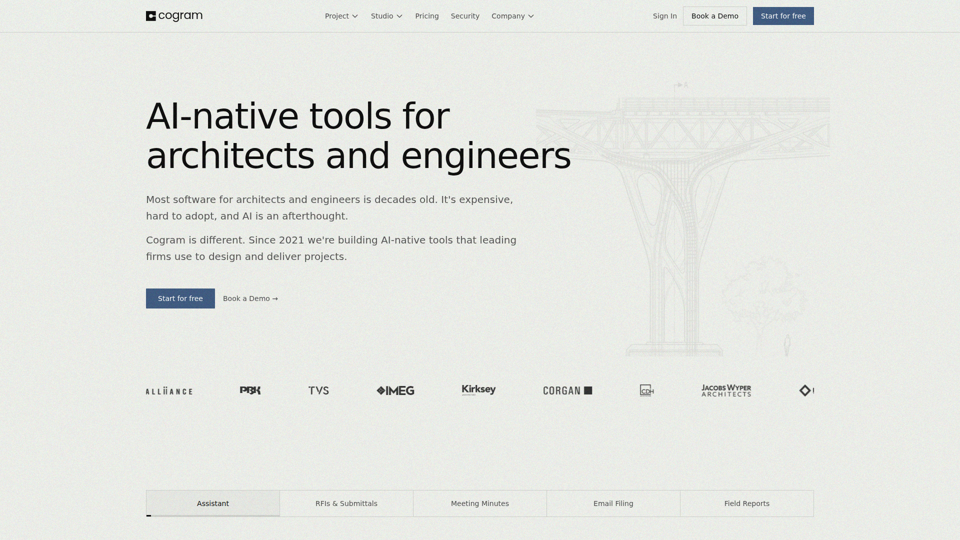
Cogram — The AI Platform for Architects and Engineers
Cogram is an AI platform for architects, engineers, and other AEC professionals that helps teams streamline project documentation, collaboration, RFIs and submittals, meeting minutes, field reports, and email management. For architecture, engineering, and project delivery roles, it can reduce repetitive admin work and make project information easier to capture, search, and reuse across active jobs.
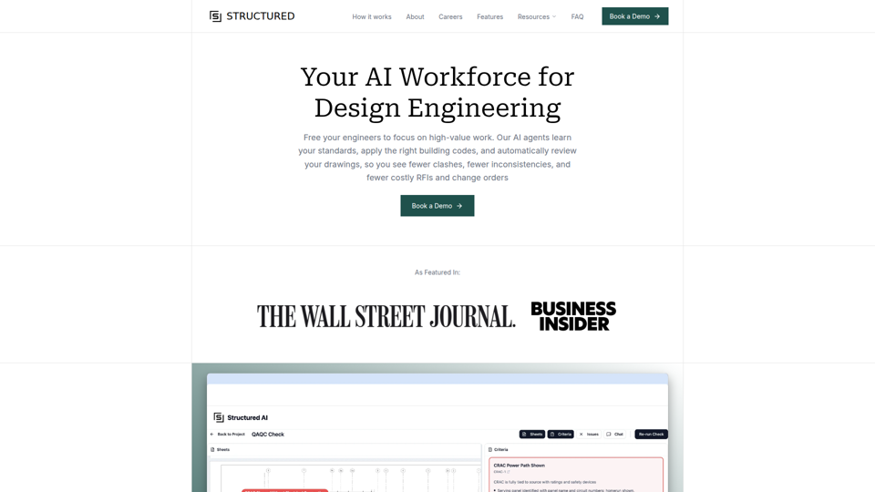
Structured AI
Structured AI is an AI QA/QC platform for construction and design engineering documents that helps AEC firms automatically review MEP, civil, structural, and architectural drawings for errors, inconsistencies, clashes, and code-related issues. For engineers and technical reviewers, it can reduce repetitive drawing checks and surface standards-based findings earlier, supporting faster coordination and fewer downstream rework issues.
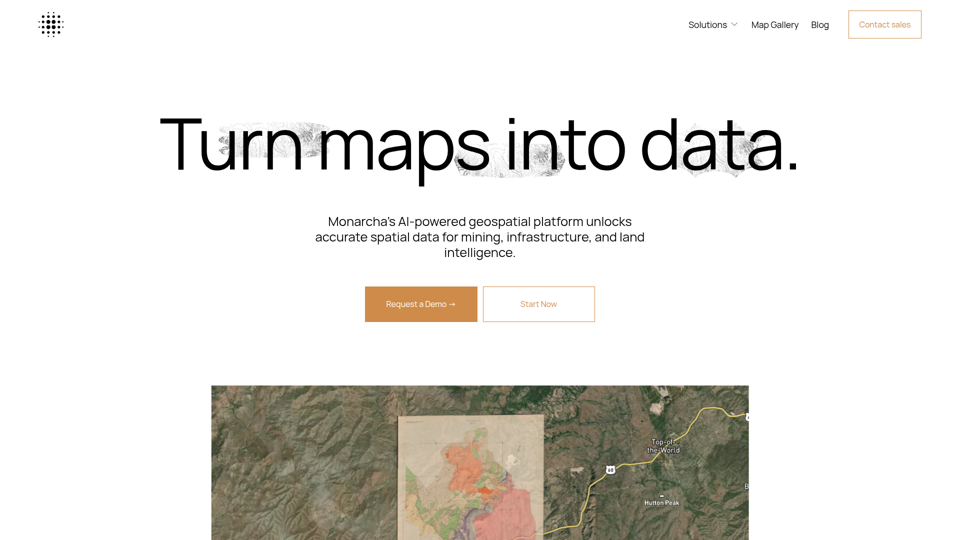
Monarcha | AI-Powered Geospatial Platform
Monarcha is an AI-powered geospatial platform that turns scanned maps, plats, deeds, drawings, and other documents into accurate, queryable GIS data for mining, civil engineering, infrastructure, and land intelligence teams. By automating georeferencing and spatial data extraction, it can help geologists, engineers, and land professionals reduce manual map interpretation and work faster with structured spatial datasets.
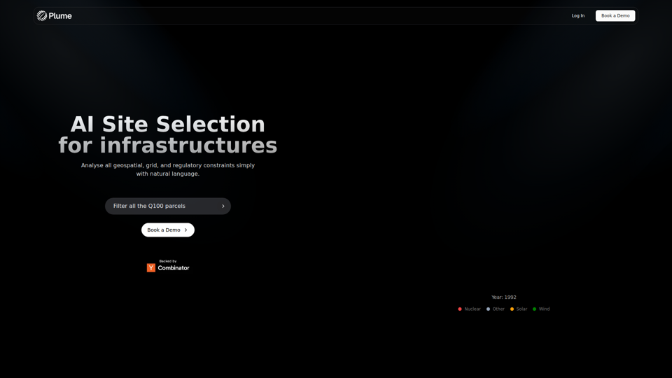
AI Site Selection for Infrastructures | Plume Finder
Plume Finder is an AI site selection tool that helps users analyze geospatial, grid, and regulatory constraints with natural language for renewable energy and infrastructure projects, mainly for infrastructure and energy development teams. In AI-assisted planning workflows, it can help site selection, permitting, and project development professionals evaluate candidate parcels more efficiently and consistently.
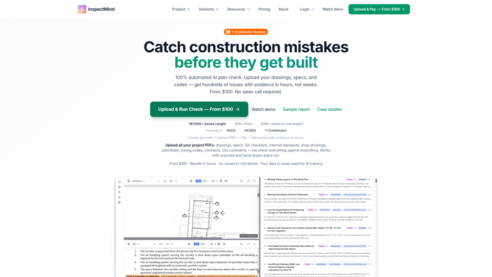
AI Construction QAQC | Plan Check & Drawing Review | From
InspectMind is an AI construction QA/QC and plan-checking platform that automatically reviews project PDFs (drawings, specs, codes, and QA standards) to find coordination conflicts, code issues, and constructability problems, mainly for AEC teams such as architects, engineers, contractors, developers, and plan checkers. In AI-enabled design and preconstruction workflows, it helps these roles surface evidence-backed issues earlier so teams can reduce RFIs, rework, and permit-review friction.
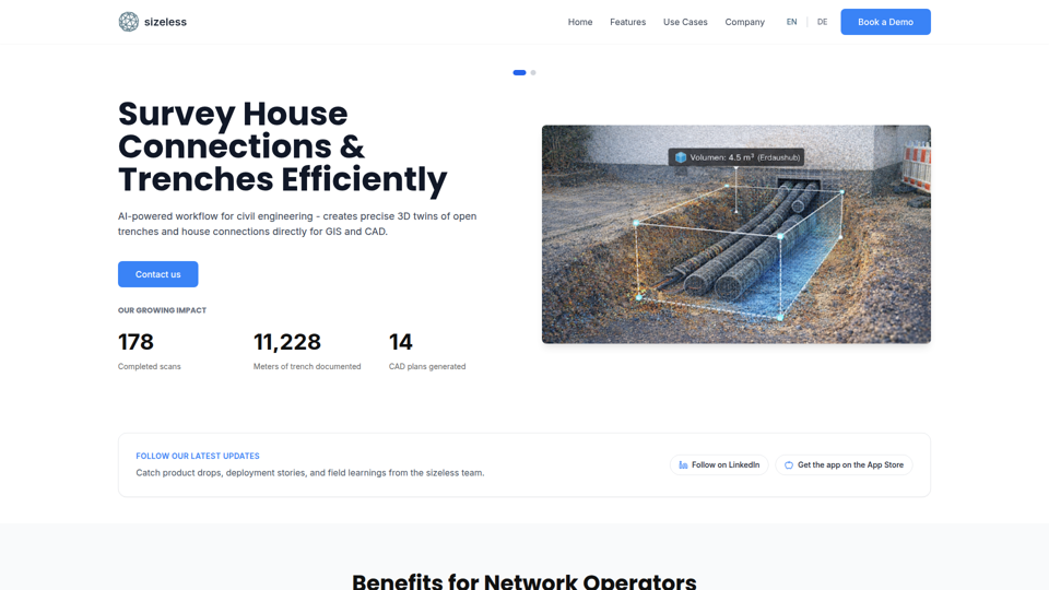
sizeless | Digital Property Twins
sizeless is an AI-powered digital twin and surveying platform that turns smartphone video of buildings, trenches, and house connections into precise 3D models, CAD plans, and GIS-ready outputs for civil engineering, AEC, and energy planning professionals. By automating capture and documentation workflows, it can help surveyors, engineers, and network operators reduce manual drafting, speed as-built delivery, and improve planning accuracy.