
sizeless | Digital Property Twins
Rate this Tool
Average Score
Total Votes
Select your score (1-10):
Detail Information
What
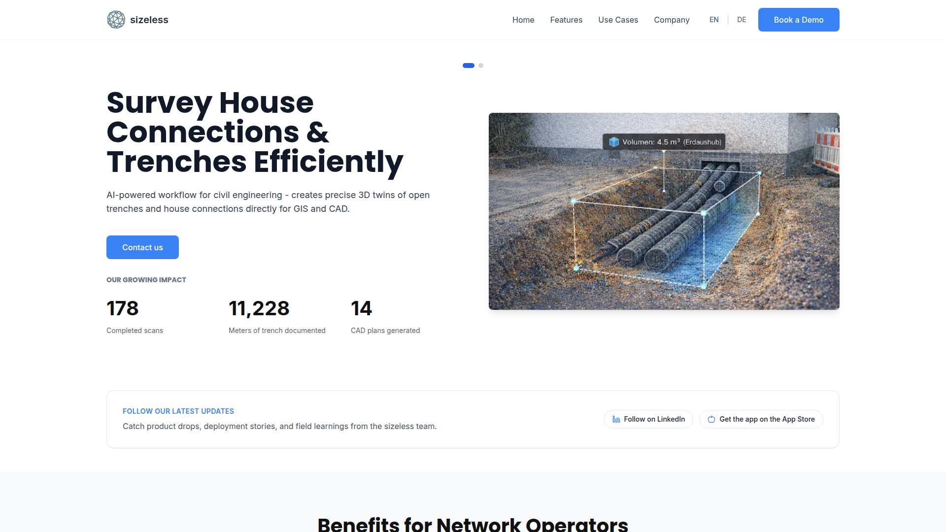
sizeless is a digital twin and surveying platform that converts short smartphone videos into documentation outputs for civil engineering and building workflows. On the infrastructure side, it focuses on open trenches and house connections, producing 3D trench twins and CAD/GIS-ready as-built documentation.
The product is positioned for professionals who need accurate spatial data without traditional manual surveying delays, including network operators, civil engineering teams, and broader AEC users (architects, engineers, facility and energy professionals). Its core workflow is capture in the field via iPhone Pro/iPad Pro, AI-assisted reconstruction and object detection, then export to standard planning formats.
Features
- Smartphone-based trench capture: Field teams record standardized video at the excavation site with iPhone Pro, reducing dependence on separate surveying appointments and specialized hardware.
- High-resolution 3D reconstruction: Proprietary algorithms generate centimeter-accurate point clouds of open trenches, supporting measurement, earthwork estimation, and documentation quality.
- AI object identification: The system detects pipes, couplings, third-party utilities, and house entries, including areas where GPS may be unavailable (such as basements).
- Automated CAD/GIS deliverables: The platform generates as-built plans in DWG/DXF and digital twins for GIS workflows, helping teams move faster from field capture to revision-ready outputs.
- Broader AEC output set: Beyond trench use cases, the site also describes 2D floor plans, BIM-ready outputs (e.g., IFC/RVT), and AI use cases like room classification and condition assessment.
- Operational processing model: Uploads run in the background with pause/resume behavior, and the company states typical delivery around 48 hours per 1,000 m² capture scope.
Helpful Tips
- Validate use-case fit early: Confirm whether your primary need is trench/utility documentation, building interiors, or energy planning, since sizeless presents multiple workflows on the same site.
- Standardize capture quality: Train crews on motion, lighting, overlap, and clip length guidance (e.g., 7–8 minute segments) because output accuracy depends on field capture discipline.
- Plan for iOS-first deployment: The platform currently emphasizes iPhone Pro/iPad Pro for best results; treat Android support as roadmap, not current production capability.
- Define output requirements upfront: Align internal teams on required formats (DWG, DXF, point cloud, BIM formats) before rollout to avoid rework in CAD/GIS/BIM handoffs.
- Review compliance statements carefully: The site states GDPR-compliant hosting in Germany/Switzerland and ongoing SOC 2/DIN 27001 reviews; procurement teams should verify status during due diligence.
OpenClaw Skills
Within an OpenClaw ecosystem, sizeless could likely serve as a field-data ingestion source for infrastructure and AEC automation. A practical skill pattern would be: monitor incoming capture jobs, classify project type (trench, building, energy retrofit), route outputs to the right downstream workflow, and trigger QA checks on file completeness and geometric consistency before handoff to planners.
A second likely agent workflow is cross-system document intelligence: OpenClaw skills could parse generated CAD/BIM/point-cloud metadata, compare against project scope or utility records, and generate structured exception lists for project managers, estimators, or auditors. The source page does not confirm a native OpenClaw integration, so this should be treated as an implementation opportunity rather than a built-in feature.
Embed Code
Share this AI tool on your website or blog by copying and pasting the code below. The embedded widget will automatically update with the latest information.
<iframe src="https://www.aimyflow.com/ai/sizeless-co/embed" width="100%" height="400" frameborder="0"></iframe>
Explore Similar Tools
Cogram — The AI Platform for Architects and Engineers
Cogram is an AI platform for architects, engineers, and other AEC professionals that helps teams streamline project documentation, collaboration, RFIs and submittals, meeting minutes, field reports, and email management. For architecture, engineering, and project delivery roles, it can reduce repetitive admin work and make project information easier to capture, search, and reuse across active jobs.
Structured AI
Structured AI is an AI QA/QC platform for construction and design engineering documents that helps AEC firms automatically review MEP, civil, structural, and architectural drawings for errors, inconsistencies, clashes, and code-related issues. For engineers and technical reviewers, it can reduce repetitive drawing checks and surface standards-based findings earlier, supporting faster coordination and fewer downstream rework issues.
Monarcha | AI-Powered Geospatial Platform
Monarcha is an AI-powered geospatial platform that turns scanned maps, plats, deeds, drawings, and other documents into accurate, queryable GIS data for mining, civil engineering, infrastructure, and land intelligence teams. By automating georeferencing and spatial data extraction, it can help geologists, engineers, and land professionals reduce manual map interpretation and work faster with structured spatial datasets.
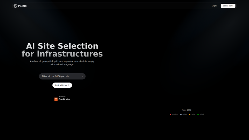
AI Site Selection for Infrastructures | Plume Finder
Plume Finder is an AI site selection tool that helps users analyze geospatial, grid, and regulatory constraints with natural language for renewable energy and infrastructure projects, mainly for infrastructure and energy development teams. In AI-assisted planning workflows, it can help site selection, permitting, and project development professionals evaluate candidate parcels more efficiently and consistently.
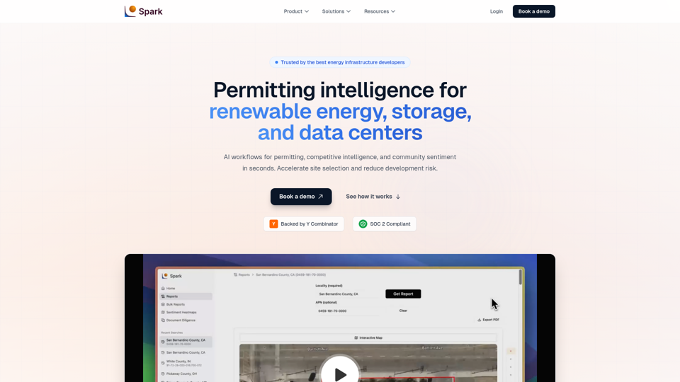
Spark | Permitting Intelligence for Solar, Storage & Data Centers
Spark is an AI permitting intelligence platform that helps solar, battery storage, and data center developers analyze site selection, zoning, permitting requirements, and community sentiment using cited public records. For development, permitting, legal, and diligence teams, it can shorten manual document review and surface buildability risks earlier in the project pipeline.
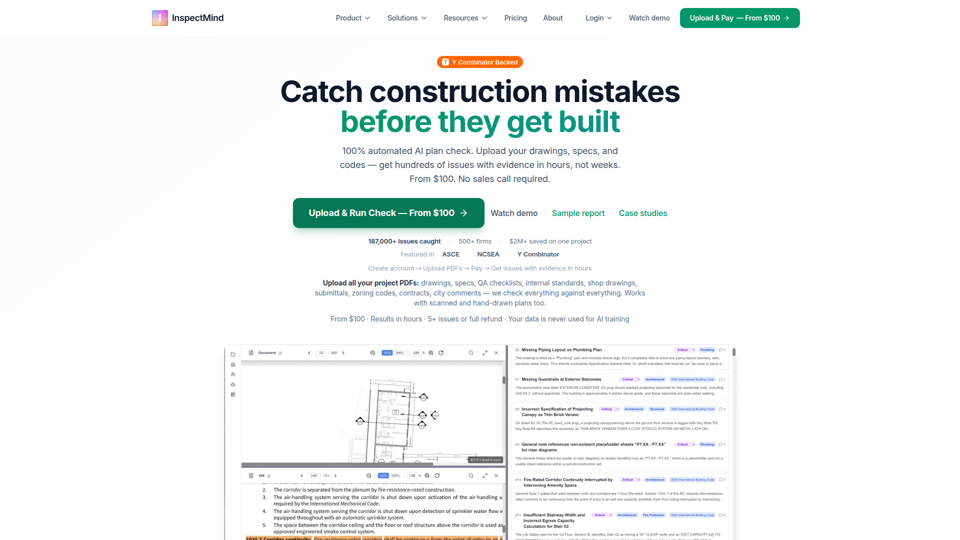
AI Construction QAQC | Plan Check & Drawing Review | From
InspectMind is an AI construction QA/QC and plan-checking platform that automatically reviews project PDFs (drawings, specs, codes, and QA standards) to find coordination conflicts, code issues, and constructability problems, mainly for AEC teams such as architects, engineers, contractors, developers, and plan checkers. In AI-enabled design and preconstruction workflows, it helps these roles surface evidence-backed issues earlier so teams can reduce RFIs, rework, and permit-review friction.